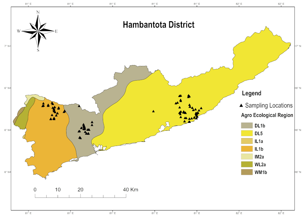
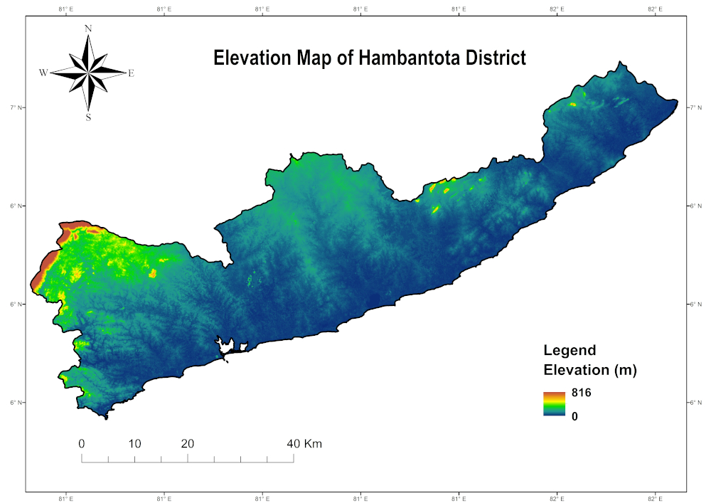
| District |
Climatic zone |
Agro-ecological Region |
Annual rainfall |
Altitude |
Major soil groups |
Terrain |
| Hambantota |
Dry zone |
DL1 |
>775mm |
<300m |
Reddish Brown Earths and Low Humic Gley soils |
Undulating |
| DL5 |
>500mm |
<300m |
"Reddish Brown Earths with high amount of gravel in sub soil, Low Humic Gley soils and Solodized Solonetz" |
Undulating and flat |
| Intermediate zone |
IL1 |
>1020mm |
<300m |
"Red-Yellow Podzolic soils with strong mottled sub soil, Low Humic Gley soils, Red-Yellow Podzolic soils with soft and hard laterite; and Regosols on old red and yellow sands" |
"Rolling, undulating and flat" |
| Wet zone |
WL2 |
>1900mm |
<300m |
"Red-Yellow Podzolic soils, Red-Yellow Podzolic soils with strong mottled sub soil, Low Humic Gley soils" |
Rolling and undulating |